Words: 1583 | Estimated Reading Time: 8 minutes | Views: 29
How far the North Exit’s 15 hectares of returned land can go depends on whether Sagamihara City is willing to foot the bill for railway elevation costing up to ¥117.4 billion.
In Greater Tokyo redevelopment narratives, the familiar story is “the subway arrived, prices rose.” Sagamihara is the reverse: here, a railway that has existed for over a century must be lifted into the air before the city can truly connect.
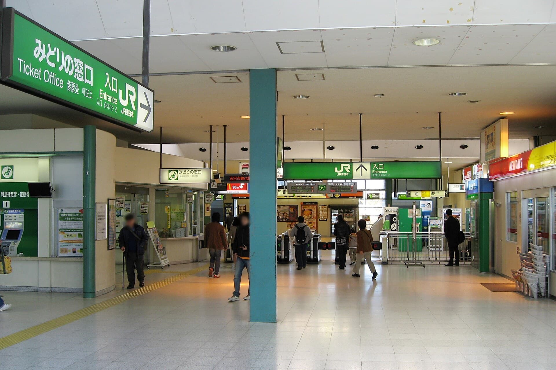
On October 4, 2026, Sagamihara City launched a preparatory feasibility study for a “continuous grade separation (railway elevation)” project around JR Yokohama Line’s Sagamihara Station. The study segment runs from the Yakake overpass to the Nishimon level crossing. In FY2026 the city aims to define the elevated section, construction method, rough project cost, and a cost–benefit analysis. Note the wording: elevation itself is not yet decided; this step merely prepares decision materials for a potentially trillion‑yen‑class choice.
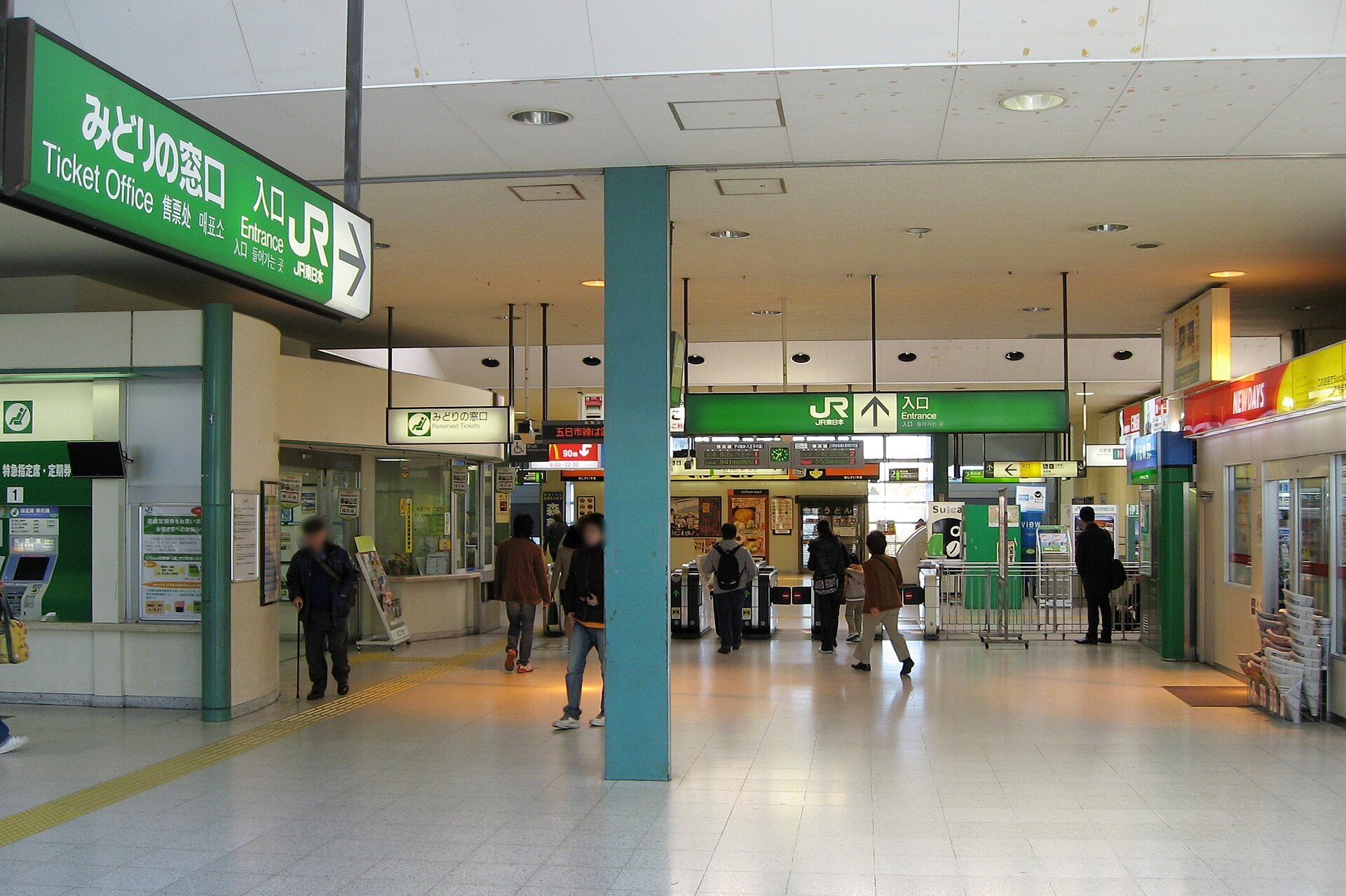
A Returned Military Site, and a Railway That Slices the City
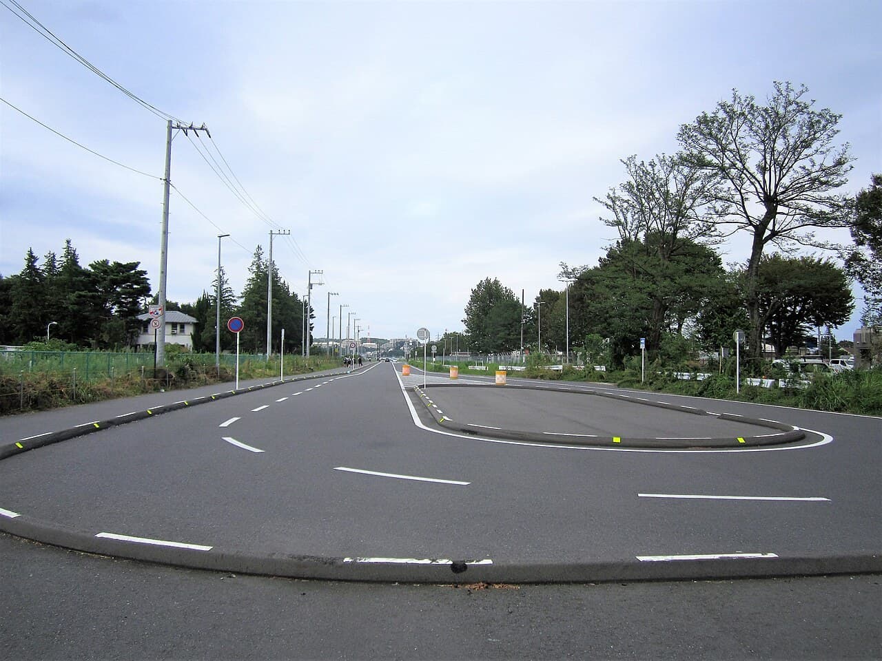
The North Exit’s uniqueness starts with the U.S. Army Sagami General Depot. This roughly 214-hectare facility long sat directly north of the station; about 17 hectares were partially returned in 2014. After accounting for roads and railway land, the net developable area is about [[15 hectares]].
This scale is rare for a suburban station-front in the Greater Tokyo area. Sagamihara City began with a 2020 concept, set land-use policy in 2022, consolidated direction in 2023, solicited proposals from the private sector in July 2024, and in August 2025 finalized a land-use plan: a mixed-use program spanning commercial, business, residential, and exchange hub functions, with space reserved for a potential future extension of the Odakyu Tama Line.
No matter how attractive the plan looks, one physical fact remains: the JR Yokohama Line is a wall. The new North Exit district and the existing South Exit district are split by the tracks, with level crossings becoming south–north bottlenecks. For investors, whether benefits from the North can spill over to the South has never been a marketing question—it is an engineering one.
Data: Rents Are Firming, Sale Prices Easing, Yields Widening
Shifting from planning renders to transactions, the Sagamihara Station area shows an intriguing divergence.
Urbalytics platform data show that from April 2025 to October 2026 there were 376 residential listing records within walking distance of Sagamihara Station (after removing 42 cross-platform duplicates). The median asking rent was ¥67,000/month with an average size of 33.2 m². Converted to tsubo, unit rents rose from ¥6,500 per tsubo per month in 2025 Q2 to ¥8,000 in 2026 Q4—roughly a 20% increase over the period.
Note: in 2025 Q3, 2025 Q4, and 2026 Q1, sample sizes were each below 10, so these are reference values rather than confirmed trends. What underpins the uptrend is the 300+ combined listing samples in 2026 Q2–Q3.
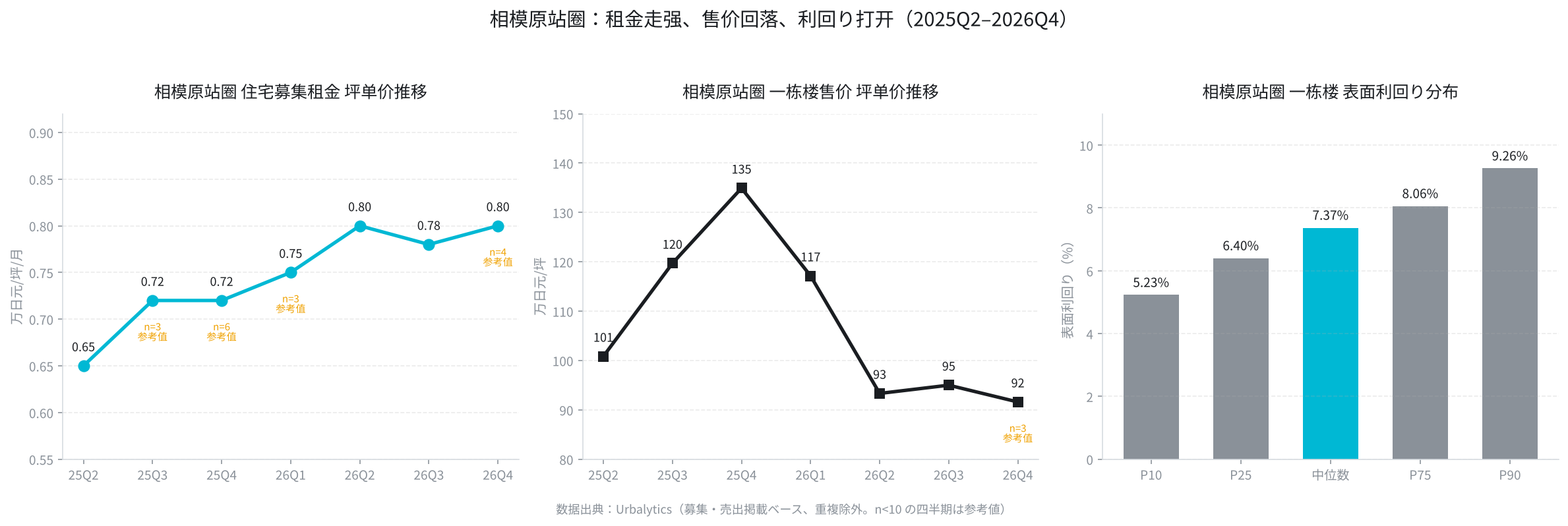
The price side moved the other way. Over the same period there were 46 listings or repricings of whole-building income properties around the station. Building price per tsubo climbed from roughly ¥1.01 million in 2025 Q2 to ¥1.35 million in Q4, then trended down, reaching about ¥0.95 million in 2026 Q3—an overall change of about [[-5.8%]]. With rents rising and prices easing, yields widened: the current median gross yield for whole buildings in the area is 7.37%, with P25 at 6.40%, P75 at 8.06%, and a median asking price around ¥120 million.
Viewed alongside official land prices, the divergence is clearer. In the 2026 official land-price announcement, Sagamihara City Chuo Ward averaged ¥178,000/m² for residential land (+6.0% YoY) and ¥292,000/m² for commercial land (+8.2% YoY). In other words, land valuations are steadily rising while income-asset asking prices are loosening—a gap that often appears when the market lacks consensus on the timing of future realization.
Urbalytics Insight Urbalytics Insight: roughly 20% growth in rent per tsubo over two years alongside about 5.8% slippage in whole-building price per tsubo is a classic “fundamentals first, asset prices lag” setup. For cash-rich, cash-flow-anchored investors, a 7.37% median gross yield is relatively elevated for Greater Tokyo’s near suburbs; it also represents the risk premium the market demands for redevelopment uncertainty around Sagamihara Station.
The ¥117.4 Billion Fork in the Road: Elevation or Underpass
The real story is why the city shifted its stance.
Back in FY2018, City Hall’s judgment was conservative: traffic growth from the North Exit development could be absorbed by widening the Miyashita–Yokoyamada Line to four lanes; elevation would be a long-term issue after full depot return. But FY2023 traffic counts upended that premise—actual congestion has already emerged, and even the four-lane upgrade may not absorb the incremental traffic from the North Exit. Based on the current land-use plan, generated and attracted traffic in the North Exit area is about 24,000 vehicles/day, and the Miyashita–Yokoyamada Line’s future traffic volume is about 50,000 vehicles/day.
Institutional constraints have also eased. Previously, national subsidy criteria required the continuous grade-separation section to extend all the way to the Kohara level crossing. After the Sagamihara level crossing was recognized in FY2021 as a “pedestrian bottleneck level crossing,” the project scope was allowed to shrink to the most impactful section from the Yakake overpass to the Nishimon level crossing, with Kohara to be handled separately as an underpass.
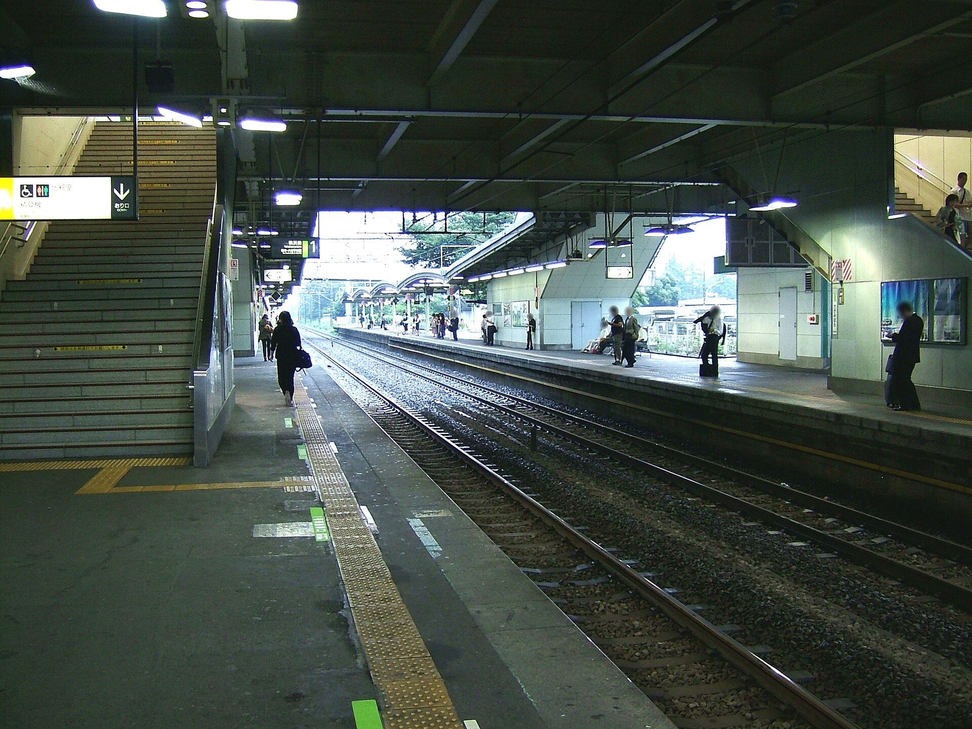
That leaves the money. In existing estimates, the roadway-underpass option comes to about ¥65.1 billion, while continuous grade separation ranges from roughly ¥74.4 billion to ¥117.4 billion depending on construction method. The city still prefers elevation for three reasons: it can remove two level crossings (Sagamihara and Koyama) in one go; land acquisition within built-up districts is more controllable; and it more readily enhances north–south circulation around the station.
The key variable that sets the cost range is construction method:
First, a “bypass alignment” that builds a new elevated line on the depot side would be relatively cheaper, but using that land requires an agreement with Japan’s Ministry of Defense and U.S. Forces. The agreement outcome directly affects the method, total project cost, and even the cost–benefit conclusion.
Second, elevating directly above the existing tracks would take longer and cost more, but requires no additional land—this is the pragmatic fallback if negotiations falter.
What This Means for Investment Decisions
For investors in the Sagamihara Station area, what this news truly changes is not price, but timeline.
For the past two years, the 15 hectares at the North Exit have been a “someday” story. Moving elevation from a long-term issue to a FY2026 preparatory study—and planning, in the same year, to engage JR East, MLIT, traffic authorities, and the Ministry of Defense/U.S. Forces—means the realization path has, for the first time, been placed on an executable timetable. City Hall’s internal wording is blunt: the state of the road network will influence private-sector willingness to enter; the city must first show commitment to advancing the infrastructure.
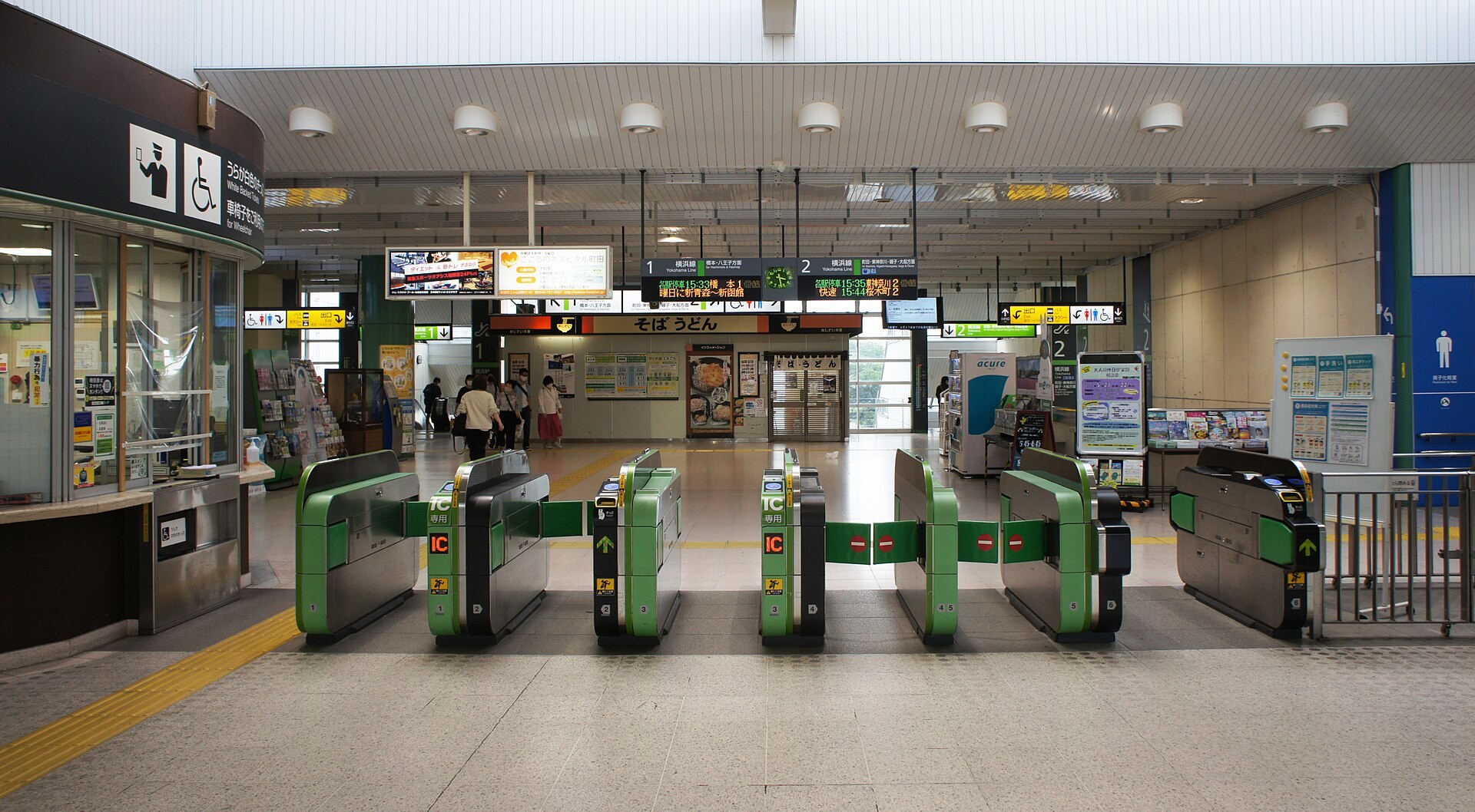
The opportunity lies in north–south integration spillovers. If the commercial and business functions introduced at the North Exit can, via post-elevation circulation routes, drive footfall into the existing South Exit district, the beneficiaries will extend beyond the returned land itself to the station area’s entire rental-demand base—exactly what the strengthening rent-per-tsubo curve suggests. Investors can use Urbalytics’ regional comparison tools to benchmark Sagamihara’s rent and yield trajectories against stations that have undergone similar large-scale station-front land returns.
Risks are equally concrete:
First, elevation is not yet decided. The FY2026 preparatory study could conclude that the cost–benefit case does not hold, forcing downward revisions to the North Exit’s development intensity and program mix.
Second, total project costs must be re-estimated for inflation. The ¥74.4–¥117.4 billion range itself indicates the plan has not converged, and the final fiscal burden-sharing remains uncertain.
Risk warning Risk warning: Railway elevation does not automatically mean north–south road continuity. Interagency agreements with traffic authorities, adjustments with the Ministry of Defense/U.S. Forces, and cost re-estimation under inflation are all pending. Paying a premium purely on “redevelopment expectations” lacks a margin of safety before the preparatory study results are released. A more prudent approach is to price off today’s roughly 7% gross yields and actual rent cash flows, treating redevelopment as an option rather than as value already realized.
The Sagamihara Station area sits at a delicate point: fundamentals are moving, asset prices have yet to reflect them, and the report that will decide much of this won’t conclude until FY2026. For long-term, cash-flow-first holders who treat redevelopment as an embedded option, this is a window where there is no need to chase. To inspect the station area’s rent distribution and whole-building yield samples, Urbalytics’ regional data panel can pull the underlying 376 rental listings and 46 on‑market buildings referenced above.
#Sagamihara #SagamiharaStation #KanagawaRealEstate #GreaterTokyoRedevelopment #ContinuousGradeSeparation #SagamiGeneralDepot #15HectaresNorthExit #WholeBuildingInvestment #GrossYield #JapanRealEstateInvestment #OdakyuTamaLineExtension #OfficialLandPrices #RentalMarket #Urbalytics
References
1. Kenbiya, 2026, “Elevation Under Consideration at JR Yokohama Line’s Sagamihara Station: Can It Underpin Development of the 15-Hectare North Exit Site?”, https://www.kenbiya.com/ar/ns/region/shutoken/10532.html
2. Sagamihara City, 2025, Materials for “Sagamihara Station North Exit District Land Use Plan”, https://www.city.sagamihara.kanagawa.jp/chuoku/1009385.html
3. Traffic News, 2025, “Key to the ‘Odakyu Tama Line Extension’? Full-Scale Study of the Massive Site Development at Sagamihara Station”, https://trafficnews.jp/post/134091
4. MLIT Official Land Prices (2026) / Land Price Benchmarks, Sagamihara City, 2026, https://totinokati.com/kakaku/エリア/神奈川県-相模原市/公示地価
5. Tokyu Livable, 2026, “2026 Official Land Prices: Kanagawa Prefecture, Sagamihara City Chuo Ward”, https://www.livable.co.jp/baikyaku/tochi/chika/area-kanagawa/a14152/kouji-005-001/
6. Urbalytics platform data (rent_stats / building_cap_rate_stats, Sagamihara Station, 2025-04-01 to 2026-10-04), https://www.urbalytics.jp/
Copyright: This article is original content by the author. Please do not reproduce, copy, or quote without permission. For usage requests, please contact the author or this site.