

自由が丘 Station land market report
Record counts, unit-price trend and the gap against the 東京都 average, aggregated monthly by Urbalytics for land listed around 自由が丘 Station. Latest month: August 2026.
Jiyūgaoka Station (Tokyo) 2·Kakidai/CC BY-SA 3.0 (cropped)·Wikimedia Commons
自由が丘 Station land|overview
#Counts are listings of land whose nearest station is 自由が丘 Station (on the market and closed alike). The commentary is derived mechanically from the figures on this page.
What the data says
- As of August 2026, Price per buildable tsubo for land in 自由が丘 Station is 460.5M JPY/tsubo — 227.0% above the 東京都 average of 140.8M JPY/tsubo (28 records).
asking price and area for land
#The total says what it costs to buy the property; the unit price says whether that is dear or cheap. Neither answers the other’s question, and floor area is the variable that separates them.
Land — Asking price and Price per buildable tsubo over time
Asking price = the median of prices published to the market. Read as a series, the level of the total shows where the market is moving.
Price per buildable tsubo = asking price ÷ land area ÷ floor-area ratio. The price per buildable square, which lets you compare land as dear or cheap without the plot size getting in the way (1 tsubo ≈ 3.31㎡).
Asking price
Unit: M JPYPrice per buildable tsubo
Unit: M JPY/tsubo| Month | Asking price — 自由が丘 Station | Asking price — 東京都 | Difference (Asking price) | Price per buildable tsubo — 自由が丘 Station | Price per buildable tsubo — 東京都 | Records |
|---|---|---|---|---|---|---|
| 2026年8月 | 20,490 | 6,200 | +230.5% | 460.5 | 140.8 | 28 |
| 2026年7月 | 17,500 | 5,980 | +192.6% | 429.8 | 135.2 | 43 |
| 2026年6月 | 17,800 | 5,699 | +212.3% | 409.9 | 126.6 | 37 |
| 2026年5月 | 17,950 | 5,185 | +246.2% | 431.4 | 121.7 | 16 |
Source: monthly aggregates of listing and rental-offer data collected by Urbalytics
Conditions
- Source: listings Urbalytics collects (on the market and closed)
- Publication threshold: figures shown only for months with 10 or more records
- Statistic: median (P20–P80 is the 20th to 80th percentile). Outliers removed by the IQR method
- In a thin month (10–30 records) both the median and the P20–P80 band move on a single listing. Read them alongside the record count shown next to each figure.
- Period: from 5 2026 — the window over which each property type is aggregated independently
What the data says
- As of August 2026, Price per buildable tsubo for land in 自由が丘 Station is 460.5M JPY/tsubo — 227.0% above the 東京都 average of 140.8M JPY/tsubo (28 records).
- From May 2026 to August 2026, Price per buildable tsubo for land in 自由が丘 Station went from 431.4M JPY/tsubo to 460.5M JPY/tsubo — up (+6.7%).
- From May 2026 to August 2026, Asking price for land in 自由が丘 Station went from 17,950M JPY to 20,490M JPY — up (+14.2%).
Land — Land area over time
Land area = the median land area among listed properties. It is the denominator under the per-tsubo buildable price, and Within one area, a change in plot size moves the total. (1 tsubo ≈ 3.31㎡)
| Month | 自由が丘 Station | 東京都 | Difference | Records |
|---|---|---|---|---|
| 2026年8月 | 33.2 | 31.6 | +5.3% | 28 |
| 2026年7月 | 35.0 | 32.6 | +7.1% | 43 |
| 2026年6月 | 35.0 | 33.3 | +5.0% | 37 |
| 2026年5月 | 36.7 | 33.1 | +11.0% | 16 |
Source: monthly aggregates of listing and rental-offer data collected by Urbalytics
Conditions
- Source: listings Urbalytics collects (on the market and closed)
- Area: building area is gross floor area (exclusive area for condominium units); land area is the registered figure
- Publication threshold: figures shown only for months with 10 or more records
- Statistic: median (P20–P80 is the 20th to 80th percentile)
- Unit: tsubo (1 tsubo ≈ 3.31㎡), matched to the unit the per-tsubo price multiplies against
What the data says
- As of August 2026, land area for land in 自由が丘 Station is 33.2tsubo — 5.3% above the 東京都 average of 31.6tsubo (28 records).
land: listings over time
#Record count is market depth. Fewer records means less to choose from; more means the buyer has more room to negotiate.
Land — Listings over time
Listings = the count published to the market. Stock building up or drawing down is a leading indicator of supply and demand, and it is what makes price and yield movements readable. The chart is an index with the base month at 100, so areas of different size can be compared on the pace of the change rather than its size. The raw counts are in the cards and the table below.
| Month | 自由が丘 Station() | 自由が丘 Station (index) | 東京都 () | 東京都 (index) | Gap (pt) |
|---|---|---|---|---|---|
| 2026年8月 | 28 | 175.0 | 3,292 | 82.7 | +92.3pt |
| 2026年7月 | 43 | 268.8 | 3,629 | 91.2 | +177.5pt |
| 2026年6月 | 37 | 231.3 | 4,518 | 113.5 | +117.7pt |
| 2026年5月 | 16 | 100.0 | 3,979 | 100.0 | ±0.0pt |
Source: monthly aggregates of listing and rental-offer data collected by Urbalytics
Conditions
- Source: listings Urbalytics collects (on the market and closed)
- Publication threshold: figures shown only for months with 10 or more records
- Statistic: median (P20–P80 is the 20th to 80th percentile). Outliers removed by the IQR method
- In a thin month (10–30 records) both the median and the P20–P80 band move on a single listing. Read them alongside the record count shown next to each figure.
- Period: from 5 2026 — the window over which each property type is aggregated independently
What the data says
- From May 2026 to August 2026, listings for land in 自由が丘 Station went from 16 to 28 — up (+75.0%).
- From May 2026 to August 2026, listings for land across 東京都 moved −17.3%, and 自由が丘 Station ran 92.3 points faster.
Figures on this page are derived statistics: monthly aggregates of listing and rental-offer data collected by Urbalytics. They are not individual transaction records.
Stations near 自由が丘駅
Ordered by straight-line distance from 自由が丘駅. The list crosses prefecture borders — one stopped at the boundary drops the neighbours a reader actually wants to compare.
- 奥沢 Station11,973/day2 types24August 2026
- 九品仏 Station12,440/day2 types30August 2026
- 緑が丘 Station9,786/day2 types28August 2026
- 田園調布 Station29,464/day3 types52August 2026
- 尾山台 Station30,063/day3 types50August 2026
- 都立大学 Station45,350/day3 types74August 2026


Station photographs from Wikimedia Commons (author and licence are given on each station’s own report page).
Nearby areas
The area this station sits in, and the areas around it that publish the same aggregates. The first card is the station’s own area (目黒区). Distances are between municipality centroids.
- 目黒区This area99August 2026
- 渋谷区3.8km52August 2026
- 品川区3.8km76August 2026
- 世田谷区4.5km265August 2026
- 港区5.8km30August 2026
- 大田区6.5km143August 2026
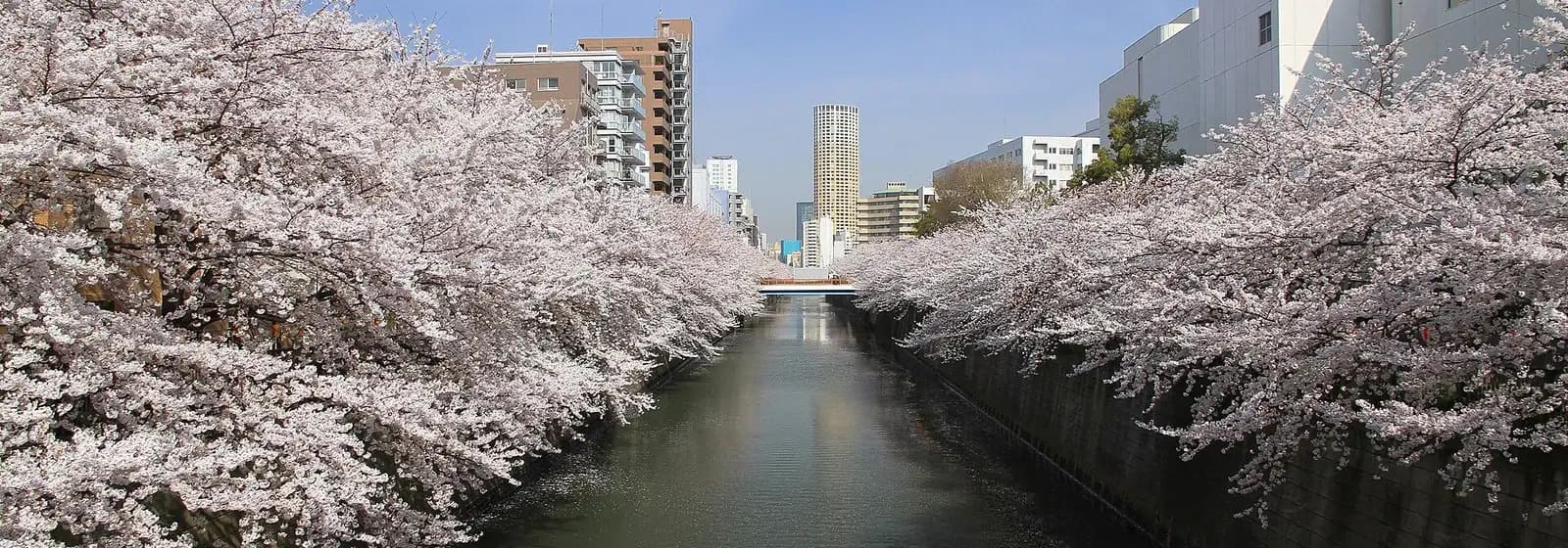
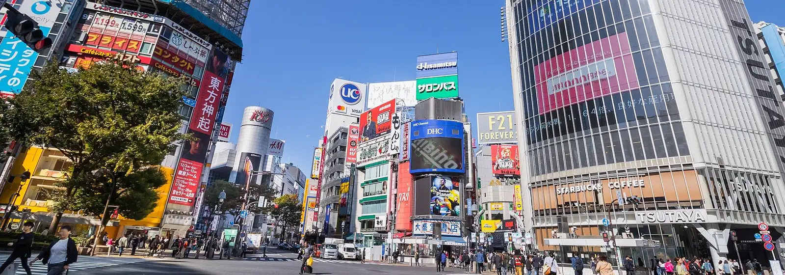
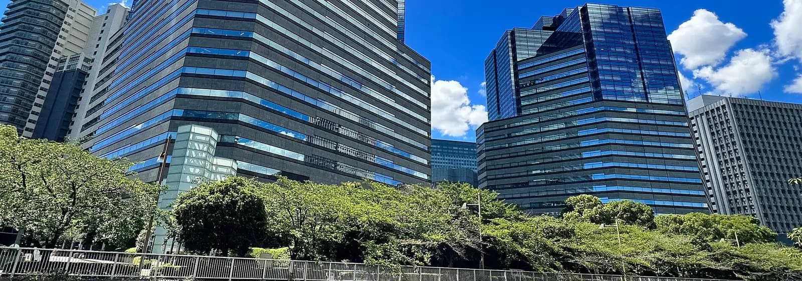
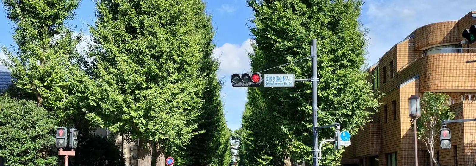
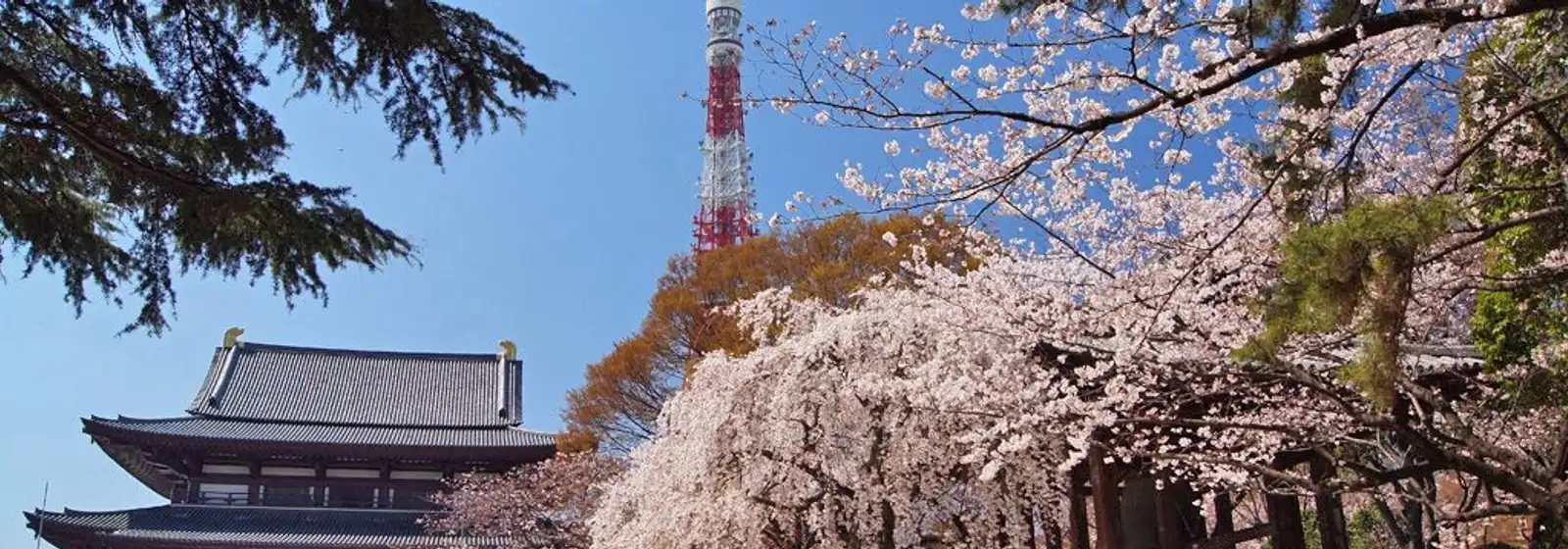
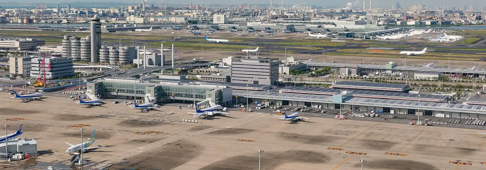
Area photographs from Wikimedia Commons (author and licence for each are given on that area’s own report page).
Articles on 目黒区
Urbalytics analysis written about the area 自由が丘 Station sits in (目黒区).
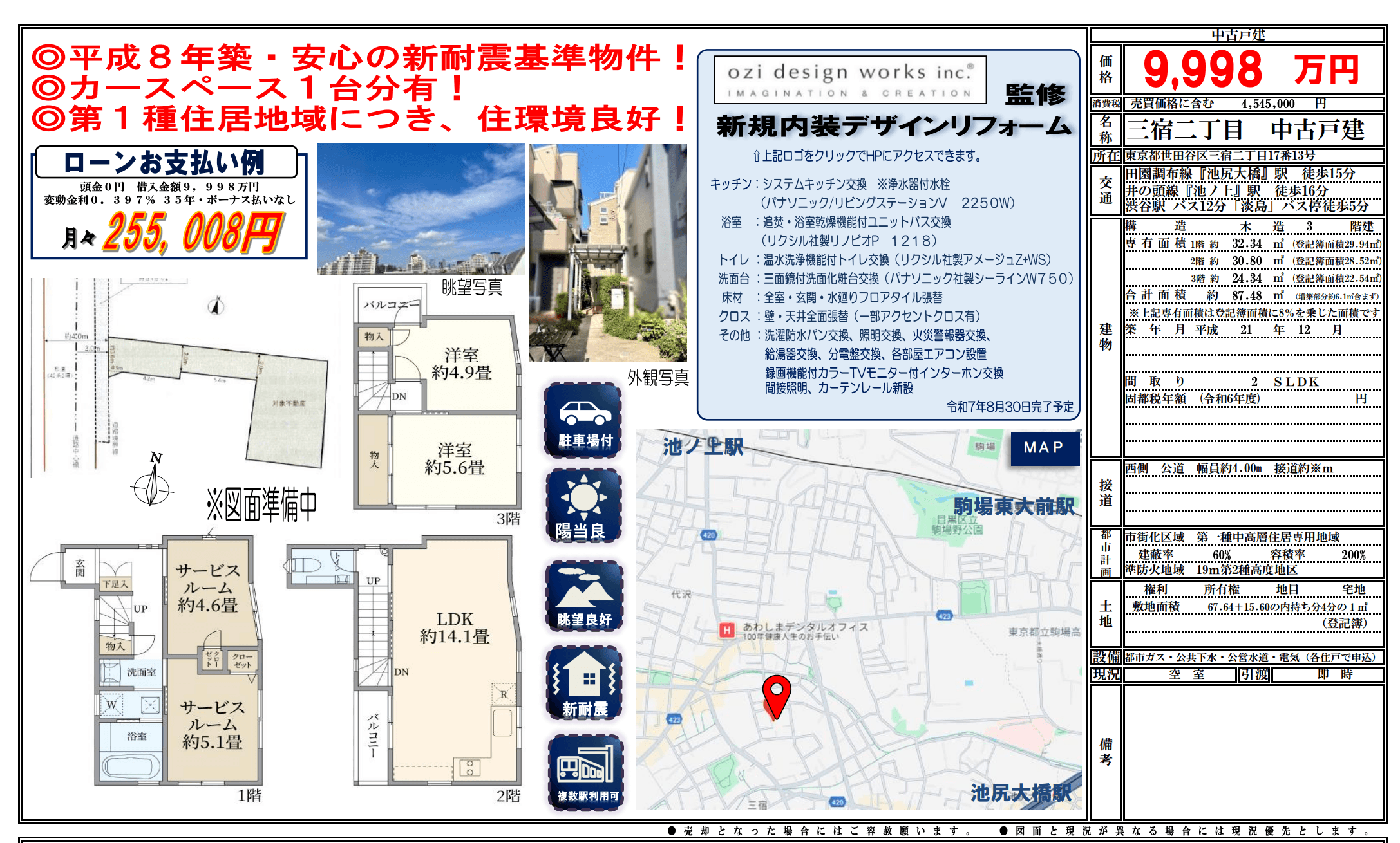
Find land in 自由が丘 Station
Individual listings, price-change history, closed transactions and AI valuations are available on a free account.